Good Neighbors 09.17.26
This story starts with a sunset.
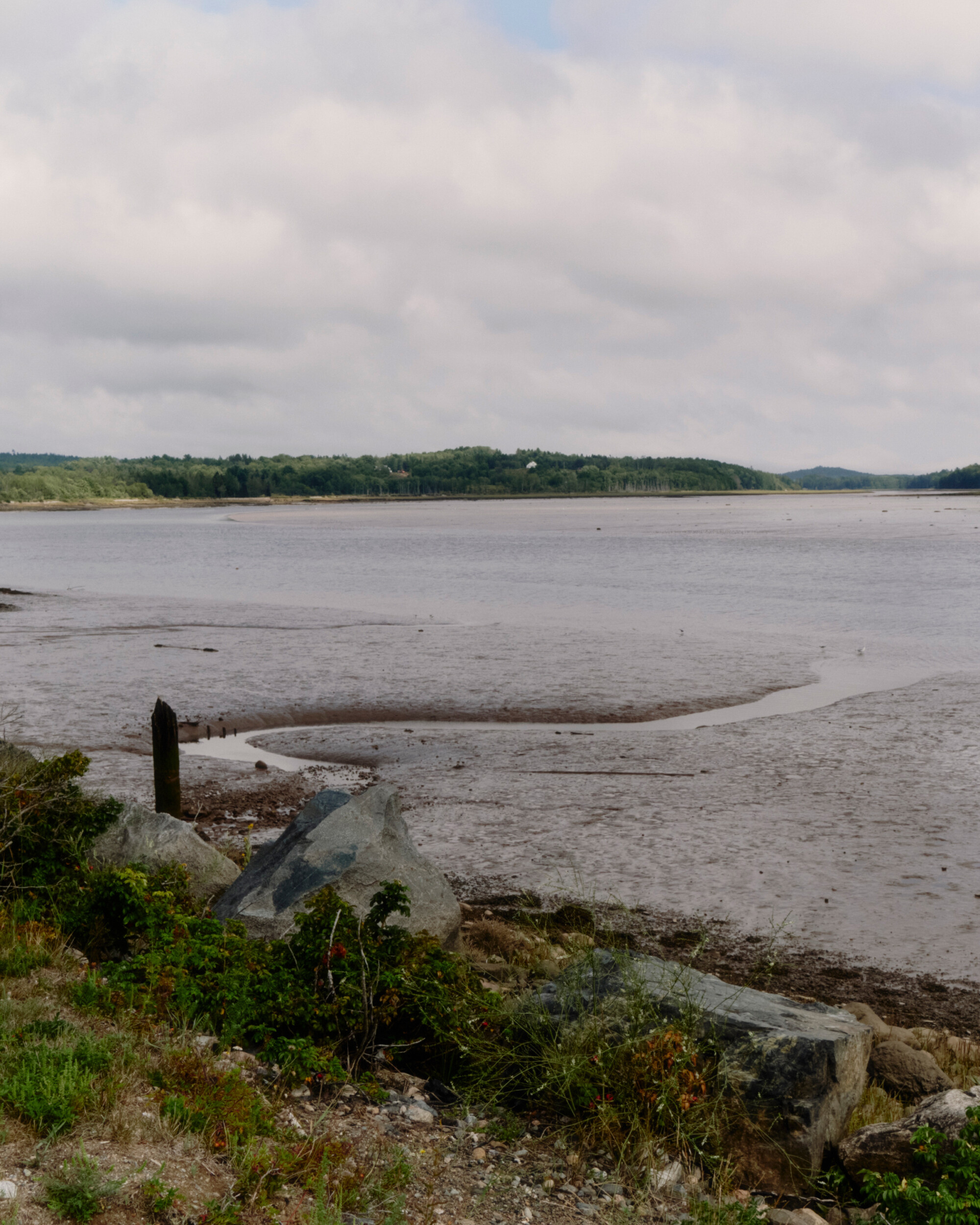
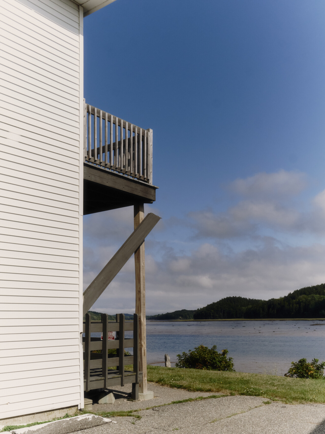
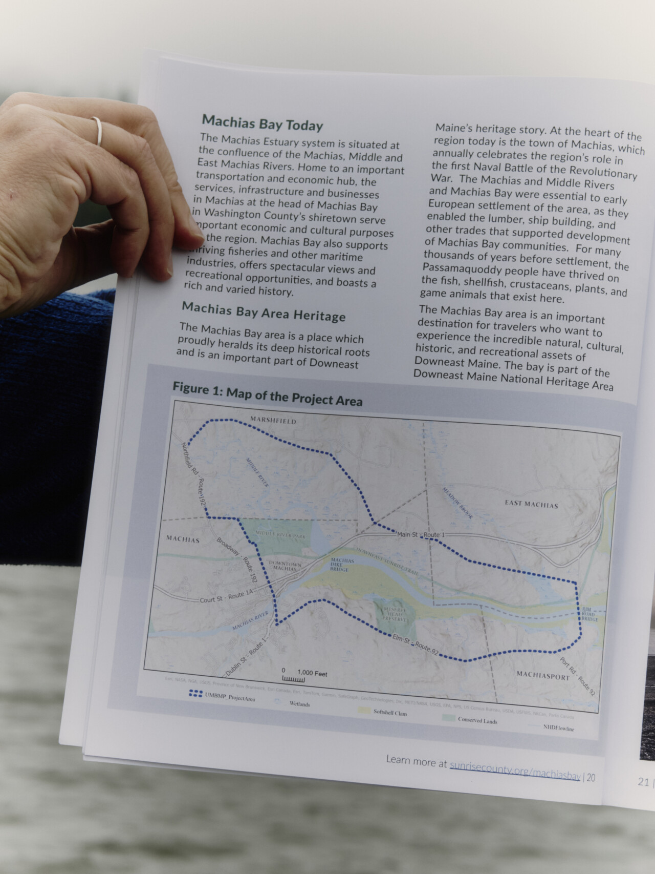
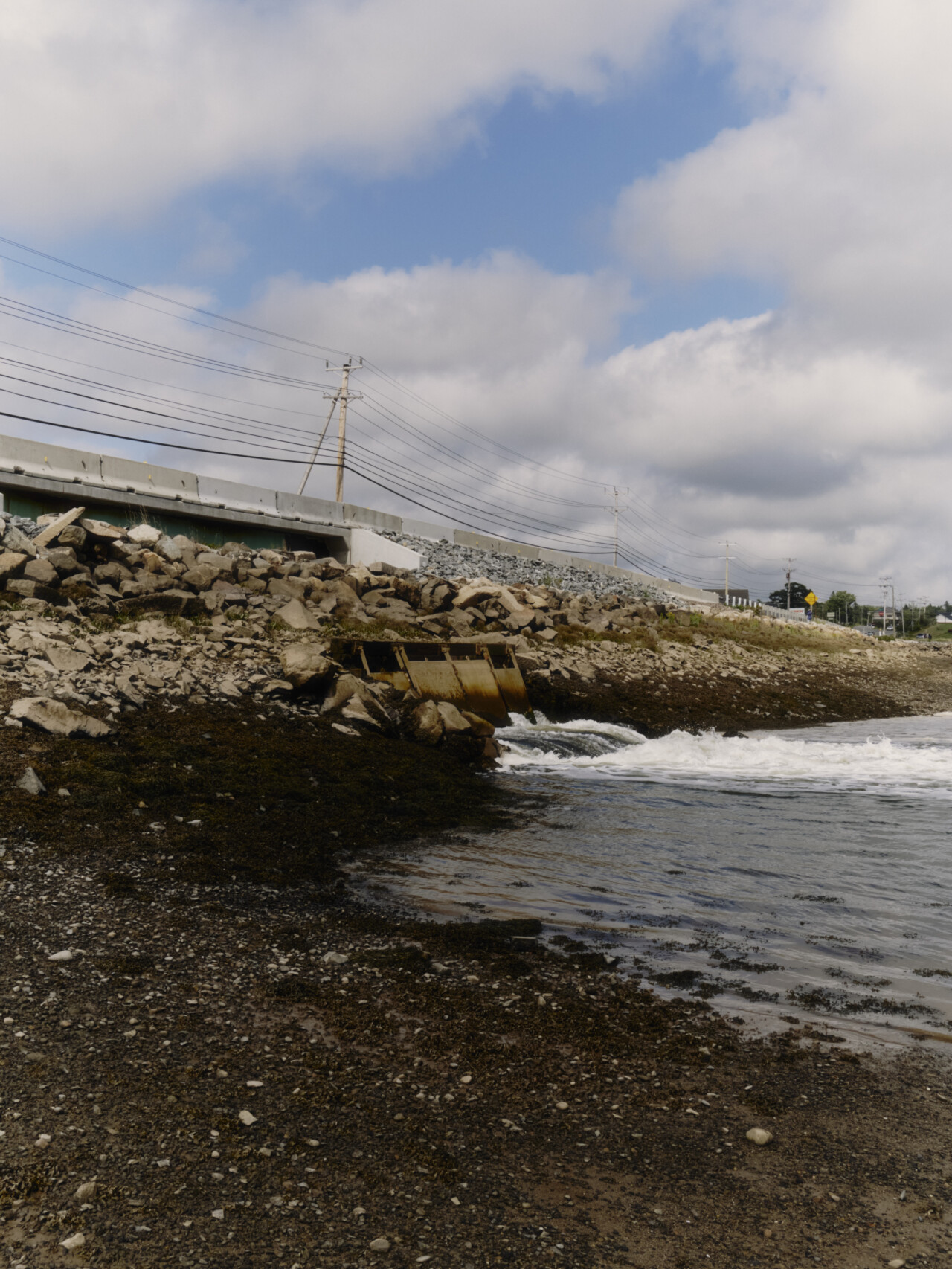
I’m parked on the side of the road in a rental car. In front of me, pavement gives way to a two-lane bridge that connects one side of Machias, Maine, to the other. From a distance, the bridge looks like it’s floating on the water underneath it. In reality, it’s built atop a dike that prevents the saltwater tides of Machias Bay from reaching the freshwater of the Middle River while allowing river water south into the estuary.
The dike is 150 years old. It provides crucial continuity for Route 1, arguably the most important traffic artery in coastal Maine. And it’s crumbling into the water.
But I’m not thinking about that. I’m watching the sun roar red, orange, and pink over the marsh on the riverside of the dike. Despite the postcard quality of this sunset, Washington County’s nickname is actually “Sunrise County” because, as the easternmost point of the contiguous United States, it’s first to see sunrise during certain parts of the year. Maybe, around here, the end of the day actually pales in comparison to the beginning.
Sunrises are symbolically saturated. They’re synonymous with birth, and rebirth. They are not just light; they are the transition to light from what was once, presumably, darkness. If you ask locals, Machias has seen some dark times recently. Sure, storms have always raged here. But by February of 2024, nine 100-year floods—severe weather events with a 1% likelihood of occurring in any given year—had slammed into the coastal community of 2,000 people in just six and a half years. It started to look like the sun might actually go down on Machias.
In this sense, Machias is reaching the same crossroads as many rural, conservative-leaning communities across the United States. These are places where some people would consider an octuple-encore of floods “climate change,” while others might call it “extreme weather.” Others still consider it a “biblical test.” They tend to disagree on what’s causing these thrashings, and they don’t have much time for the monumental task of convincing each other of who’s right.
Meanwhile, some of the biggest economic drivers in these places—in Machias’ case, commercial fishing and agriculture—live and die with weather, water, trickle-down natural resource policy, and the fickle pricing structure of commodities like lobsters, blueberries, and gasoline. In other words, Machias isn’t just a place that would benefit from considering what climate change might do to its future. It’s a place that can’t afford not to consider what climate change might do to its future—especially the future of the dike, the downtown area, the working waterfront, the wastewater treatment facility, and a list of other ticking time bombs.
Nothing on that list is particularly sexy or charismatic. But it all matters.
So, after the waters of the ninth 100-year flood receded, a group of community members did the only thing anyone in rural America has ever done when faced with a larger-than-life problem no one else could help them solve. They rolled up their sleeves and got to work.
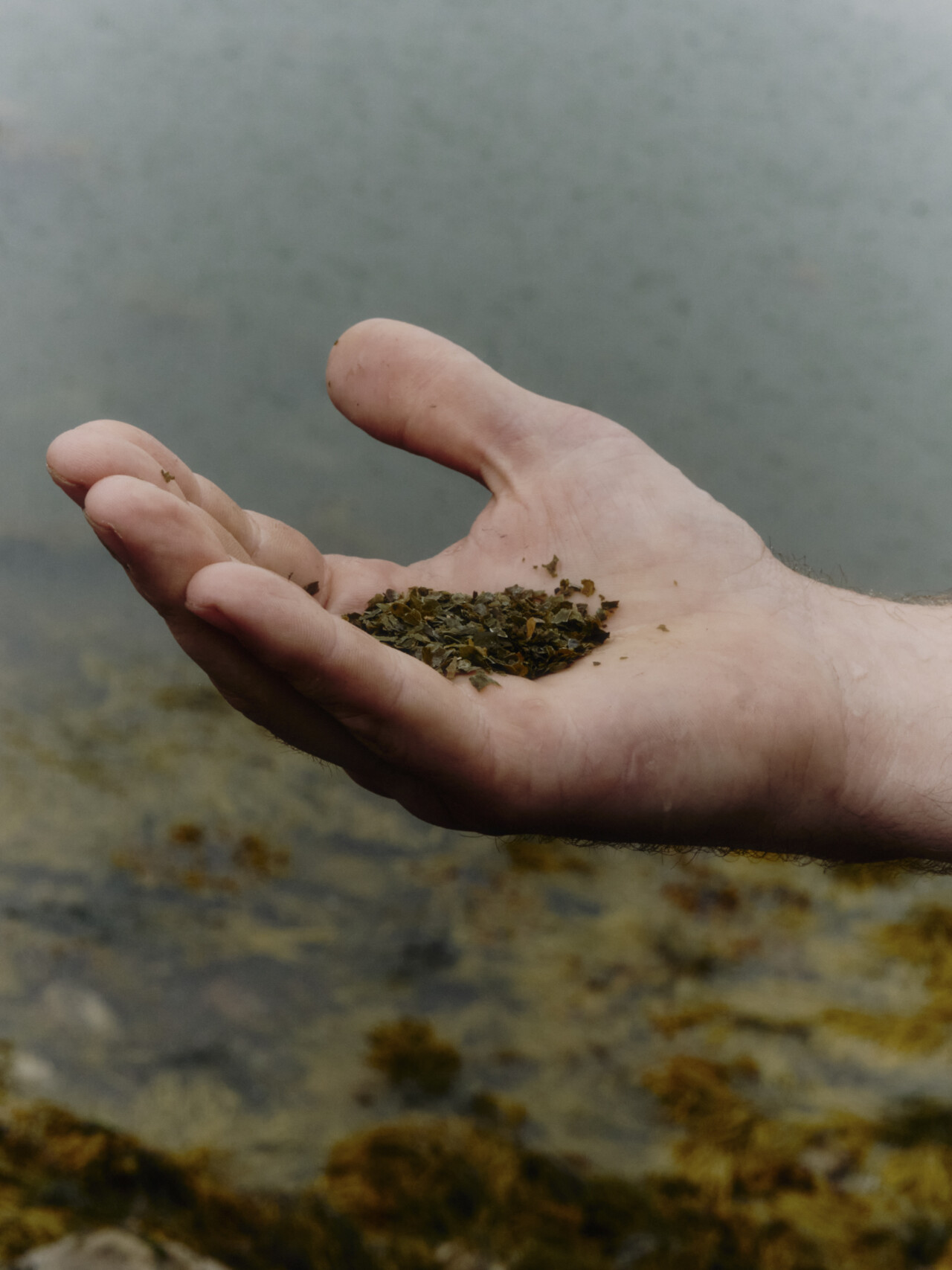
I meet Dr. Tora Johnson in her office at the Sunrise County Economic Council. Like nearly every other building in Machias, the SCEC headquarters operates out of an old colonial-style house (white siding, black shutters, symmetrical chimneys) that overlooks water. There, Johnson works as the Sustainable Prosperity Initiative director, a title that draws on her background in geography and social science. She’s one of those people who lives for brain podcasts and mediating big, hairy negotiations.
When I ask her to share some of Machias’ earlier interactions with the notion of climate change, Johnson recalls filling out a grant application in 2009 that required funding recipients to dedicate some portion of their work to the matter. At the time, she knew the wording would present a challenge for her community.
“No one was even allowed to say those words [here],” Johnson recalls. “Portland was starting to talk about [climate], and some of the southern Maine communities were starting to deal with intermittent flooding, but these were way more liberal locations. In this kind of place, it had to be done in a different way.”
Despite how much we wring our hands over rural America’s hesitation to address climate change, plenty of rural America is extremely concerned about it. One glaring example is on the 56.2 million acres of reservation and off-reservation trust lands, or ORTLs, stewarded by hundreds of the 575 federally recognized Native American tribes and Alaska Native villages. The 10 largest land-holding tribes within the borders of the modern-day U.S. combine to cover 64,530 square miles (including ORTLs), or an area larger than the state of Georgia, and the bulk of these lands are rural.
In Washington County specifically, the Passamaquoddy Tribe stewards 44 square miles of reservation lands—or property owned directly by the tribe and subject to state land taxes—at Motahkomikuk, or Indian Township, and Sipayik, or Pleasant Point. They also steward some 180 square miles of trust lands, or lands held by the federal government in trust for the Passamaquoddy Tribe, across seven counties throughout the state. Groups like the Sipayik Resilience Committee and the Wabenaki Sustainable Energy Team, a coordinated effort between the five Wabanaki tribal governments in coordination with the State of Maine, work on home weatherization, heat pump installation, providing free home energy audits, and numerous other efforts.
The Rural Climate Partnership estimates that climate resilience efforts in rural America receive less than 2% of all philanthropic climate-related funding. This is despite the rural United States being home to more than 19% of the nation’s population, emitting some 38% of its greenhouse gases, and accounting for 97% of its land area.
“A lot of people think ‘Hey, we’re going to have floods,’ and then there are the people who are worried that in 10 or 20 years, Machias is going to be underwater.”
But even if rural Americans emit more GHGs per capita, the bulk of those emissions are the result of power generation that is eventually consumed elsewhere. Residential and commercial emissions per capita are significantly higher in non-rural areas. Maine emits fewer GHGs than almost any other state in the nation, and Washington County is one of the lowest emitters in all of Maine.
Considering these discrepancies, Johnson started asking rural Mainers more questions about what support they needed in the face of worsening weather conditions—and less about what they could give up to shrink their already small carbon footprint.
“We didn’t go around and say, ‘You idiot, you have to believe in climate change,’” she says. “We just asked what tools they needed, and then we made them.”
One tool was a map that used storm surge inundation data to show users which roads and properties might flood under different storm scenarios. But while making the map in the early 2010s, Johnson and her colleagues realized that downtown Machias, with its small businesses, town and county offices, hotels, restaurants, and homes, was at higher risk of coastal flooding than nearly anywhere else in Maine. Daunted by this information, Johnson encouraged residents and small business owners to use the map in planning ahead.
“Of course, at that time, this was all hypothetical,” Johnson recalls. “We were starting to see some minor nuisance flooding, but we thought we still had 20 to 40 years.”
She pauses.
“And then the floods started.”
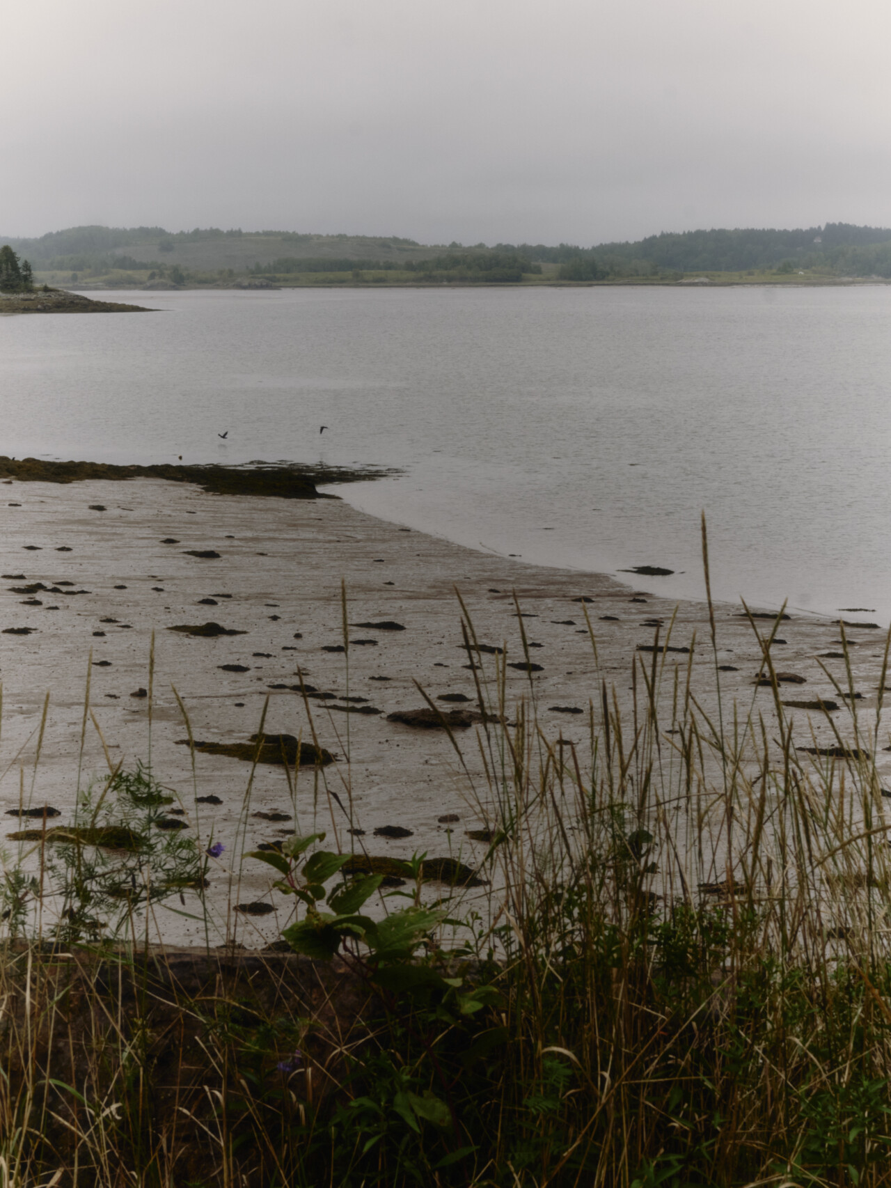
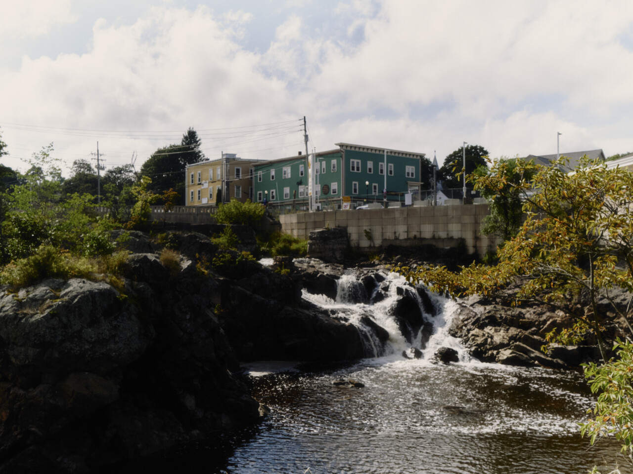
The first of the nine 100-year floods hit Machias in 2018. Floodwaters reached 10.7 feet above sea level, well over the 100-year floodline. In 2020, another storm sent seawater careening into the heart of the town, inundating the Middle River and dumping enough seaweed onto the dike bridge to necessitate the deployment of municipal snowplows. More storms showed up, but the worst was still yet to come.
Then, on December 18, 2023, another 100-year storm whipped up hurricane-force winds and flooding. Less than a month later, on January 10, 2024, a 12-foot flood struck the community. Three days after that, a third flood reached 11.1 feet. And on March 10, a fourth flood broke the 11-foot mark.
“Four 100-year floods in four months,” Johnson recalls, visibly incredulous.
Just as her map predicted, Main Street businesses flooded repeatedly. The town offices had to relocate after 16 inches of standing water collected in the basement. The Down East Sunrise Trail, a popular snowmobiling destination that draws ample tourism traffic each winter, was washed out, shutting down the remainder of the season. Everyone worried about the dike bridge’s structural integrity even more than they did before the storms.
But if Machias is well-seasoned in responding to sudden environmental disasters, so are its many multi-generational residents who wear their adaptability like badges of honor. Resilience has always been a part of life in Washington County, which contributes to a generally lukewarm attitude toward the topic of climate change resilience. But after the worst of the waters receded, the laundry list of immediate, costly problems was impossible for some of the more rugged individualists to ignore.
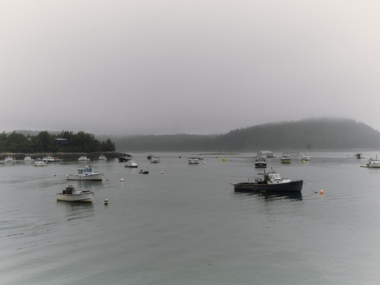
Johnson formed a leadership committee to start work on what would become the Upper Machias Bay Master Plan. The committee eventually grew to 43 people representing communities, schools, local businesses, nonprofits, and state and federal agencies. The committee held monthly meetings from January 2025 to April 2026, while also facilitating public meetings and conducting surveys and interviews with community members.
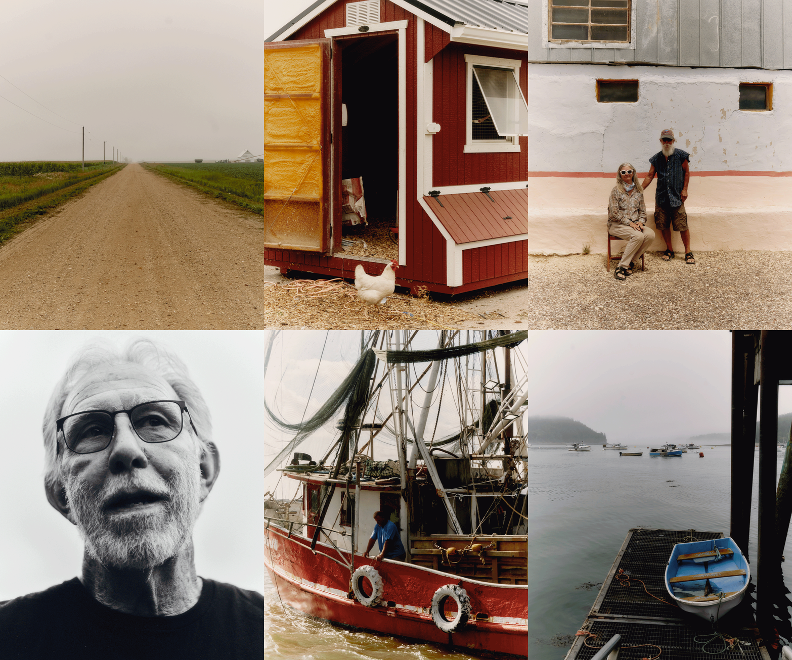
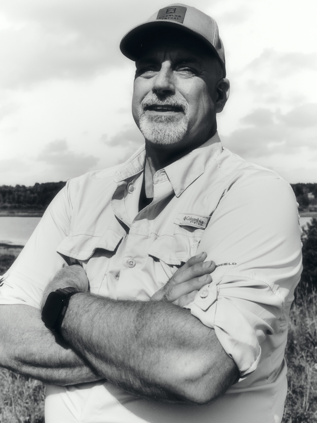
One leadership committee member, lifelong Washington County resident Wayde Carter, is a retired game warden with an environmental studies degree. Now the head of security at the University of Maine at Machias, he recalls being a kid in the 1970s and watching floods push large, destructive “cakes” of ice into the middle of town, which the town then had to bulldoze back into the water.
“A lot of people think ‘Hey, we’re going to have floods,’ and then there are the people who are worried that in 10 or 20 years, Machias is going to be underwater,” Carter says.
The avid hunter and angler described the planning process as contentious.
“Half the town is scared to death of the flooding, and the other half is like, ‘We’ll believe it when we see it.’ So you have two separate groups that are talking differently. I think that’s the case everywhere. But the flooding was real. It did real damage.”
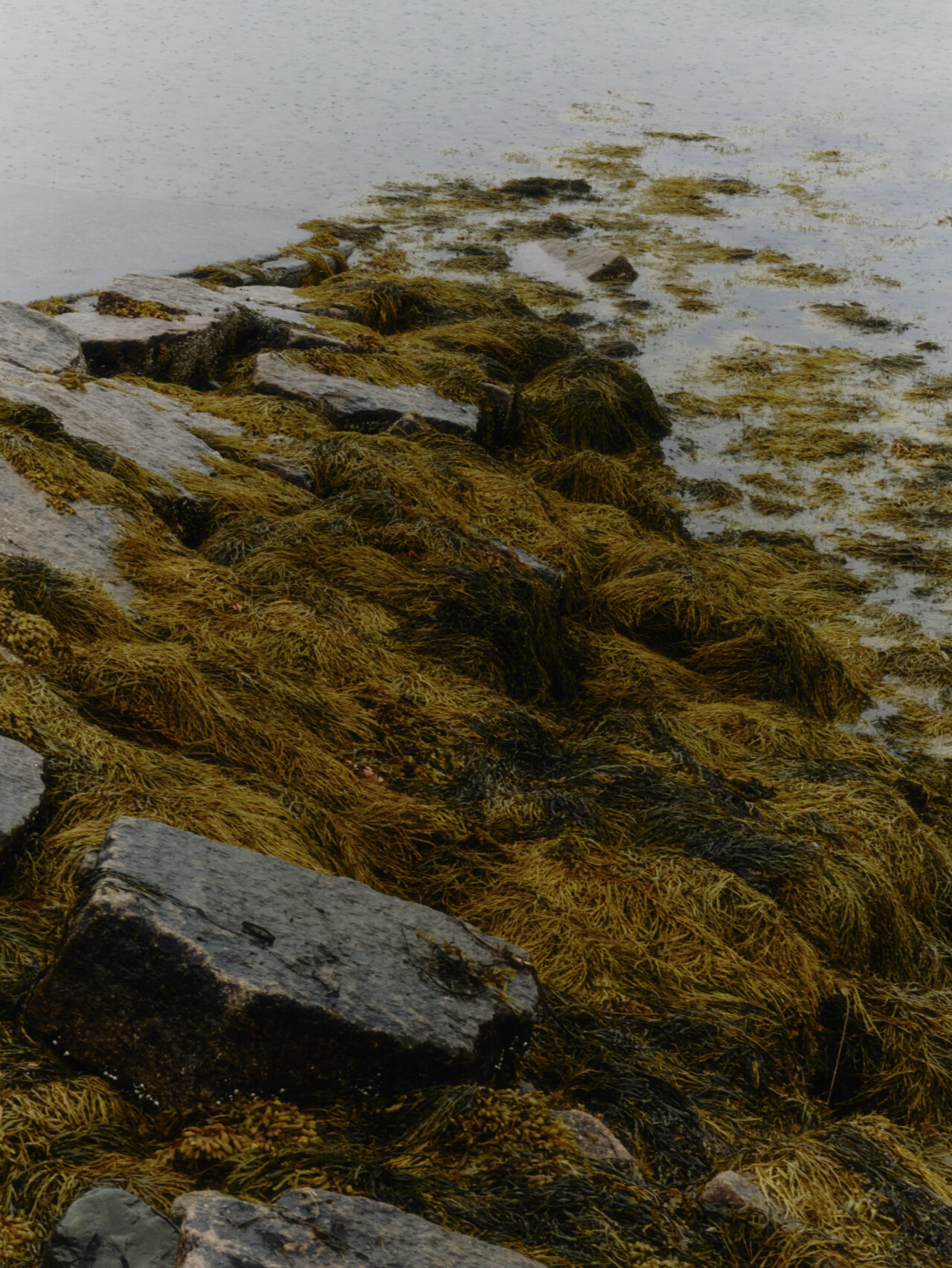
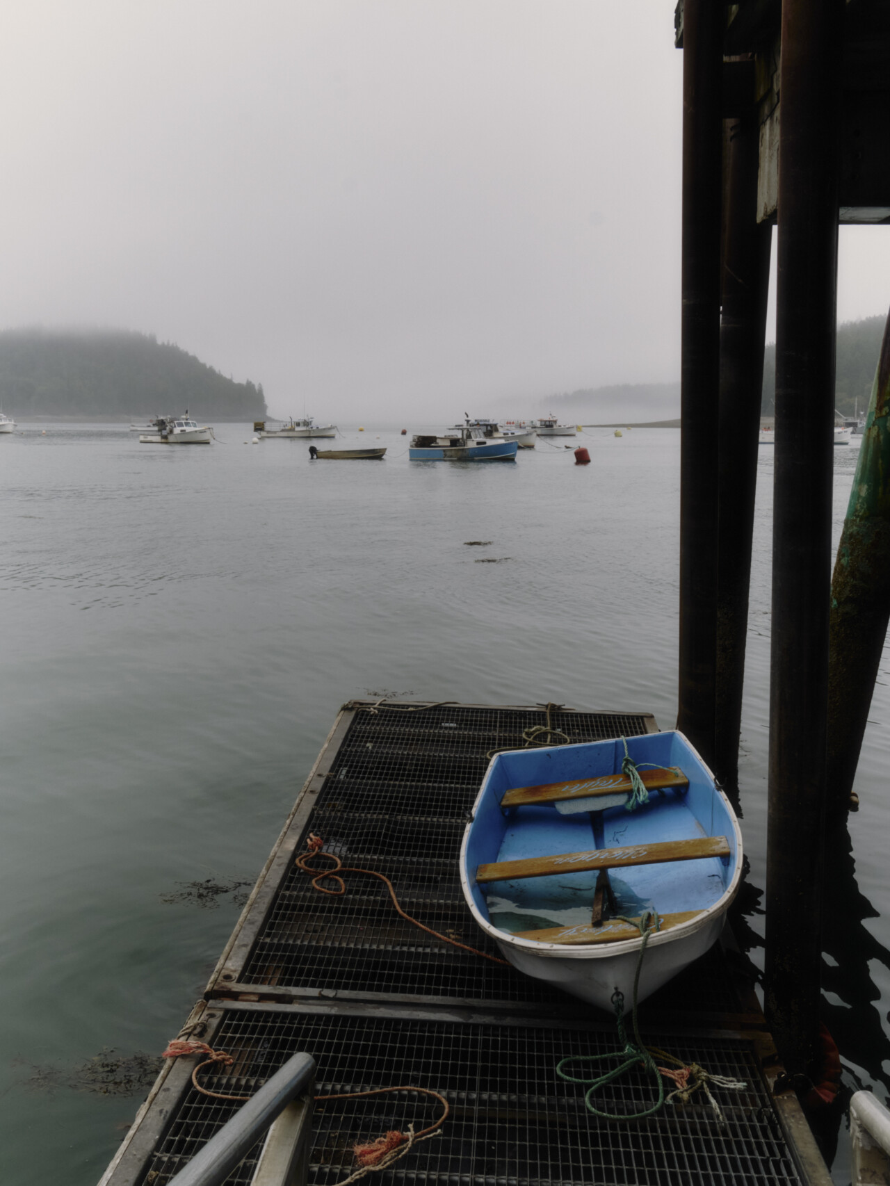
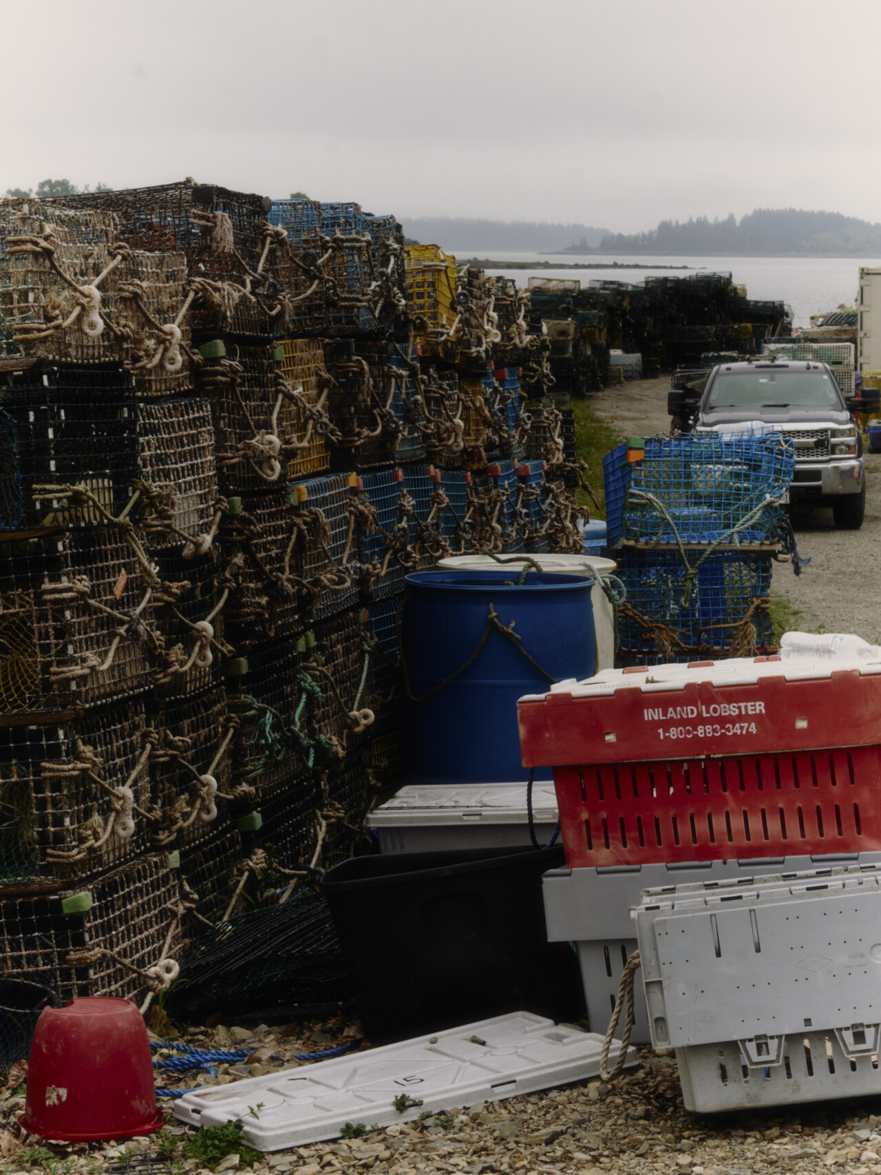
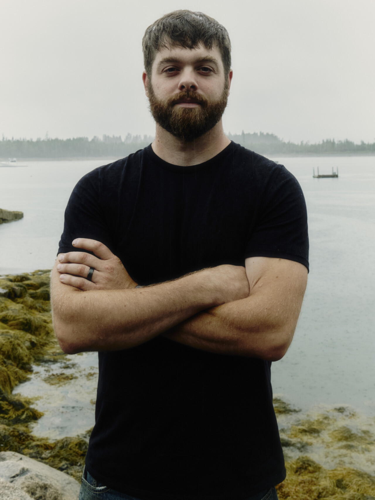
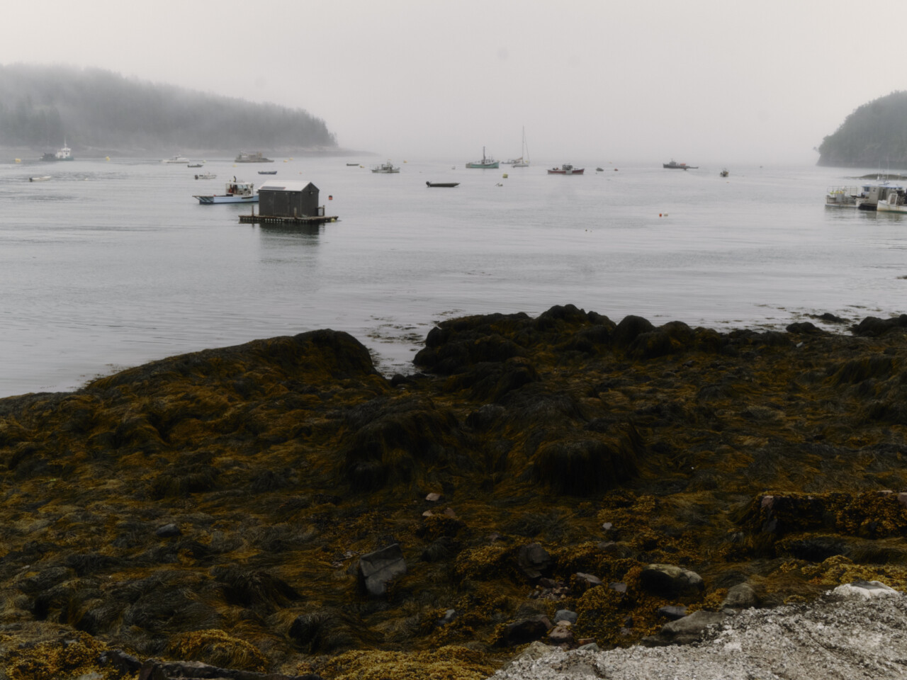
Few felt the immediate impacts of the flooding quite like those who work in the commercial fishing industry, says Jake Patryn, another member of the leadership committee and the chair of the Machias Select Board. Patryn is a second-generation Washington County lobsterman who also runs a kelp farming business with his wife, Morgan.
“There are a lot of old wharves up and down the coast of Maine that haven’t been updated and can’t withstand the damage they’re taking,” Patryn says. “I don’t think a majority of people are running around here, denying that climate change is happening … I was downtown for the last flood, and it was alarming.”
On top of the damage to infrastructure, warming ocean temperatures have increasingly forced lobsters to retreat north in search of colder water. This is likely contributing to a decrease in lobster harvests, although Patryn clarifies that such declines are extremely nuanced and could also be linked to market forces changing what lobstermen target and even cooling waters in some areas altering lobster behavior and seasonal availability.
Flooding events also trigger pollution runoff that leads to mandatory shellfish flat closures, intended to prevent poisoned shellfish from entering the food system. In response to these economic challenges, some of Maine’s commercial fishermen have begun considering alternative income streams like aquaculture and kelp products.
But Patryn is careful to point out that commercial fishermen have always been adaptive. Their jobs were already hard before climate change started making them harder.
“Fishermen, all the time, do all kinds of different stuff,” Patryn says. “They dig clams, they find periwinkles, they catch glass eels, they hop on another boat to go catch halibut, or do carpentry, or mow lawns. They just do.”
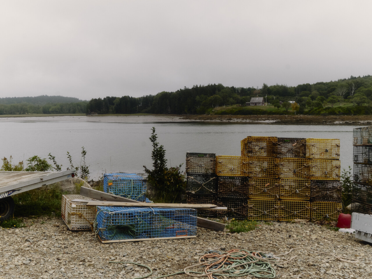
In their last meeting, the committee voted on and released a series of recommendations for the laundry list of municipal issues. They decided the dike bridge should be replaced in-kind, which aligned with recommendations from the Maine Department of Transportation. They decided they needed a special committee to handle emergency response and preparedness for future flooding in the downtown area. They needed to conduct drills and educate about flood safety in schools. They needed to construct stormwater storage tanks at the wastewater treatment facility to prevent sewer overflows. The list of recommendations with unanimous consensus goes on and on.
These recommendations did not come easily, Johnson says. Disagreement was commonplace, as were inflammatory op-eds in the local newspapers. Johnson says she even started to feel unsafe at times. But the work continued anyway.
“Some folks … don’t understand that perfectly reasonable and intelligent people take time to realize something,” Johnson says. “We all have biases, and if we encounter cognitive dissonance, we dissolve it by creating a narrative that matches our preconceived notions. There’s a lot of evidence to show that that’s how human brains work.”
Ultimately, Johnson is glad the committee created the plan. She swears the work they’ve done, especially on downtown flooding and water quality issues, has raised awareness of climate change—and acceptance that it exists. This tracks with a broader trend in rural Maine. According to one poll Johnson conducted in 2025, 83% of respondents “indicated that they had felt or seen the effects of climate change in their communities.” They cited warmer winters, flooding, and severe storms.
Participants in a focus group affiliated with the study felt “ill-equipped” to participate in conversations about climate change, especially given the polarizing nature of the topic. But they wanted to learn about its causes, and they wanted support in dealing with its effects.
After speaking with Johnson, I’m still struck by how insanely unromantic this all seems. I came to Machias looking for a story about a community that set differences aside to rally around shared concerns in the aftermath of major disasters. Instead, I found a community that, in many ways, is still divided—mostly along partisan lines—over what exactly happened, how bad things actually got, and what the future holds.
I ask Johnson if she thinks other serious challenges, like widening income inequality, crumbling rural healthcare, and a hollowed-out middle class, have left many people in rural places disinterested in playing along with top-down guidance on climate change resilience. She immediately starts imitating some of the outside specialists who have come to her, wanting to “help fix rural America,” nearly leaping out of her chair in the process.
“One of the most important misconceptions that people seem to have is this idea that we have to do something,” she says, slamming her hand down on the desk. “They say ‘You need to adapt. You need to do something about your downtown.’ You know what? We don’t. We don’t! That doesn’t mean we won’t suffer consequences from not doing anything. But if you march in with a preconceived notion about what has to happen, you’ve already lost. The only thing we need to do is live into the future until we die. And that is it.”
This is when the uplifting thing about Machias becomes clear. Forty-three community members took time out of their busy lives to get into a room together once a month for 16 months, and argue, butt heads, imagine, and dream up a path forward for their town, on their own terms. While they didn’t reach unanimous consensus on many things, one thing was clear.
The majority opinion was definitely not to sit around and wait for the sun to set.
In the next edition of Good Neighbors, we head to a different stretch of American coastline to see what happens when one industry pushes a group of fishermen and their community to the brink.
Join our membership community. Support our work, receive a complimentary subscription to Atmos Magazine, and more.
Come Hell or High Water