

Words by Porter Fox
photographs by wade schaul
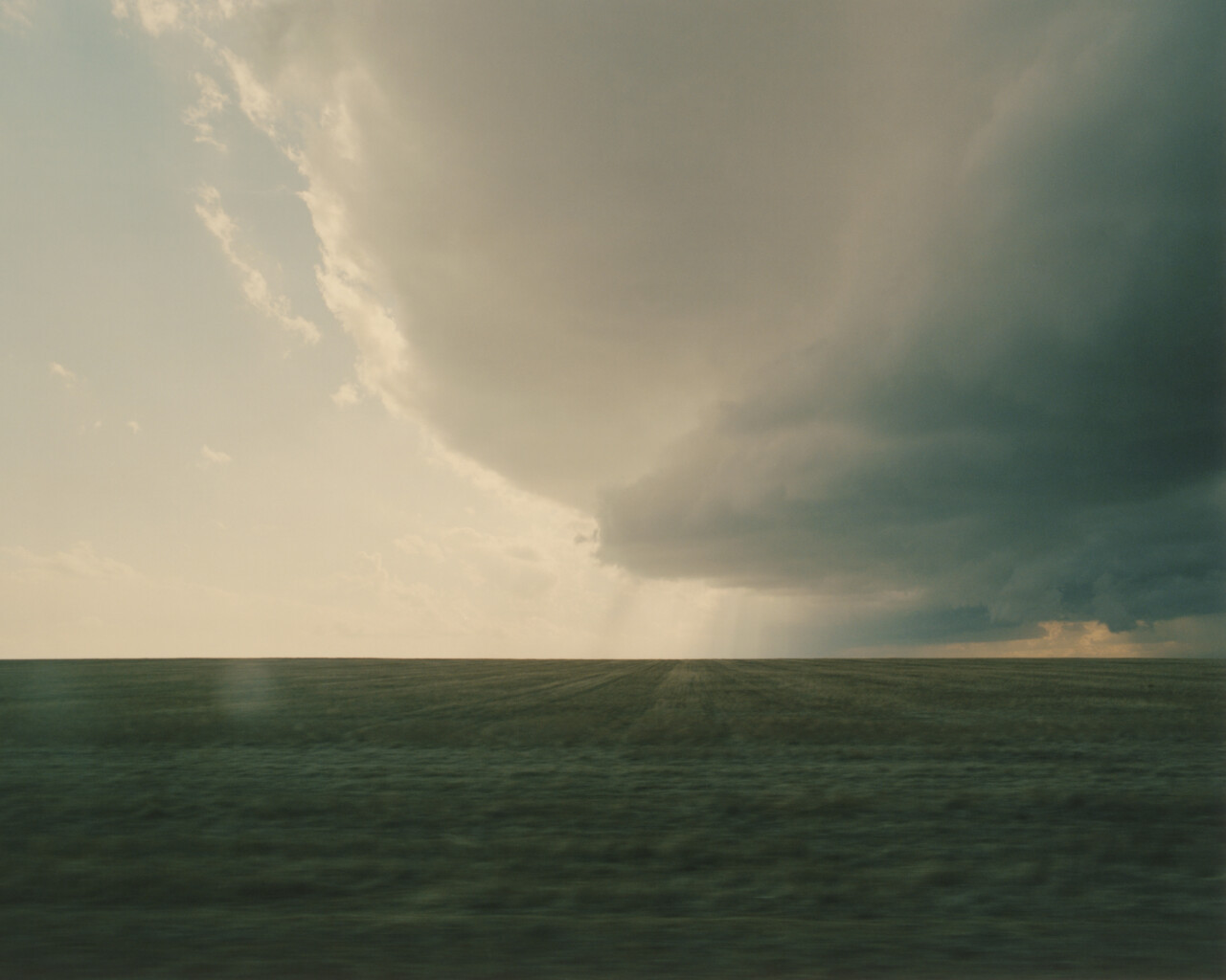
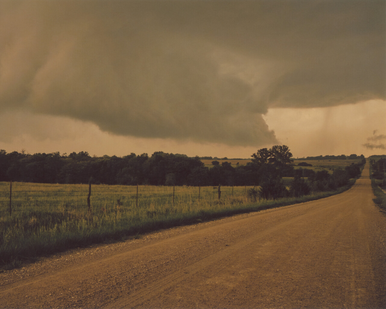
Jason Weingart woke with a bad feeling the morning of May 31, 2013. A sliver of orange sunlight illuminated his hotel window near El Reno, Oklahoma. Dew gathered on the Indiangrass and big bluestem in the fields, and a few pickup trucks rolled down Highway 40. Weingart is a storm chaser and regularly checks the National Weather Service forecast. The report at 6 that morning: hot and humid with a “moderate risk” of severe weather.
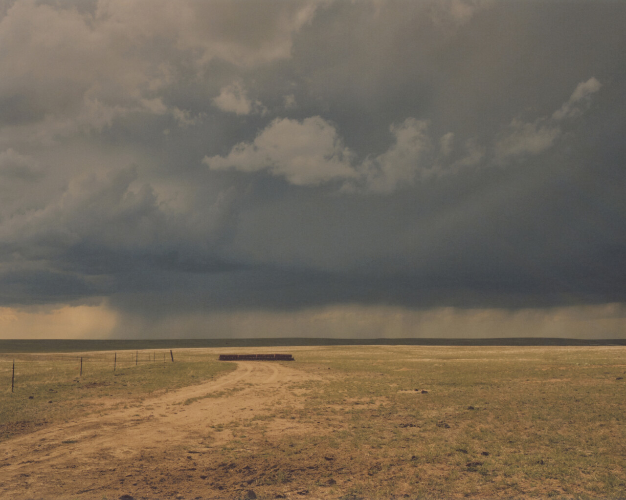
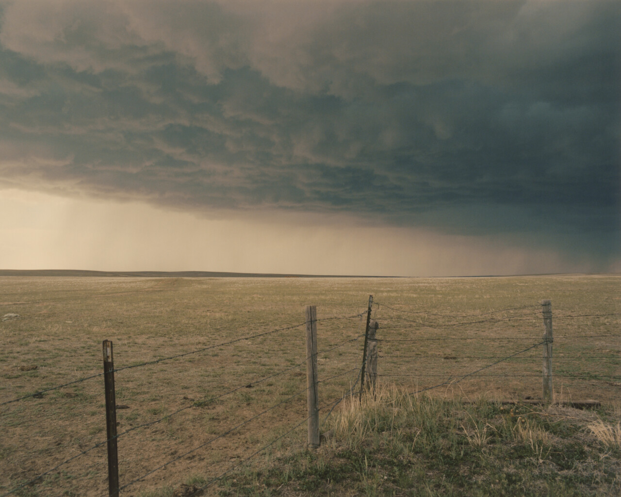
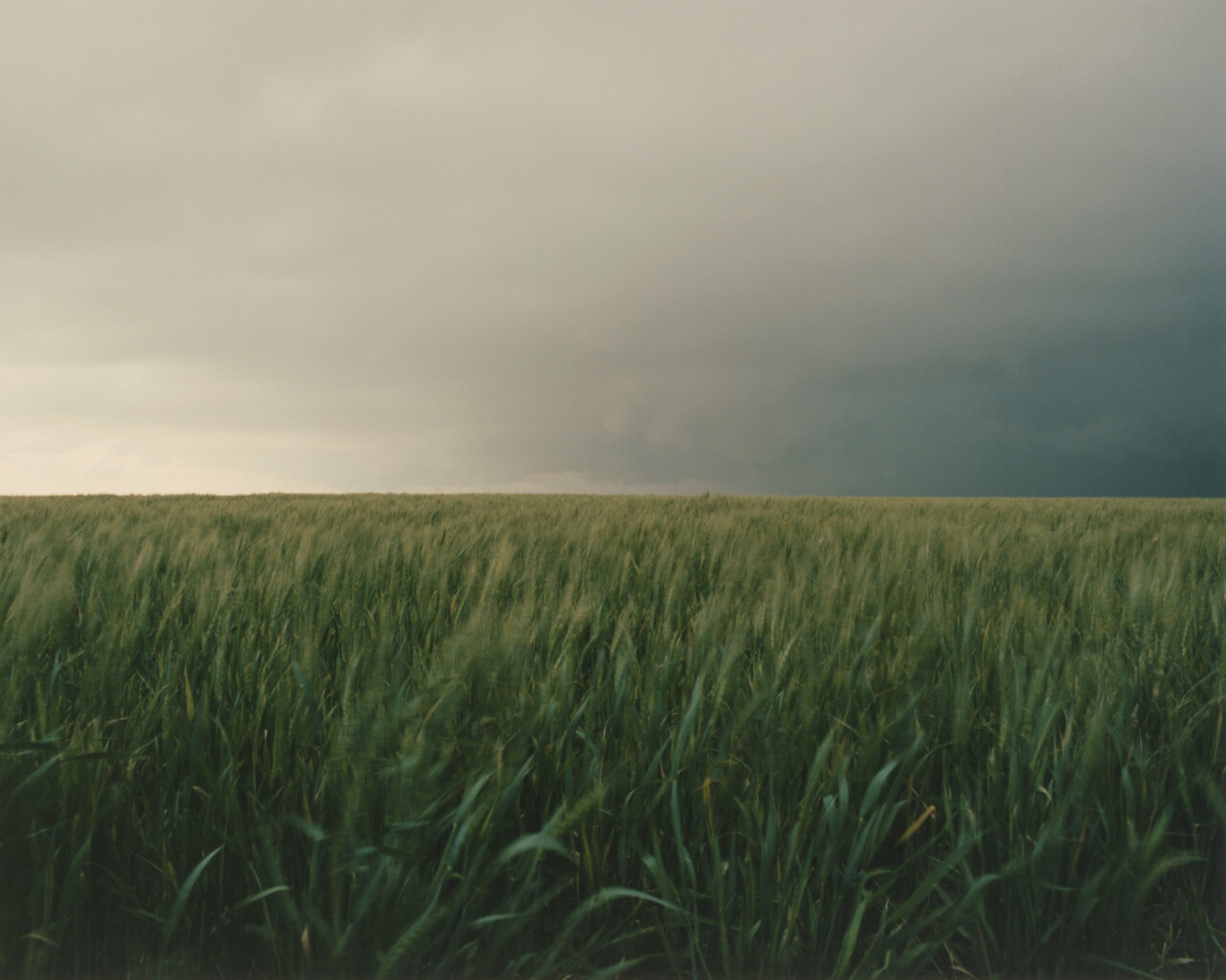
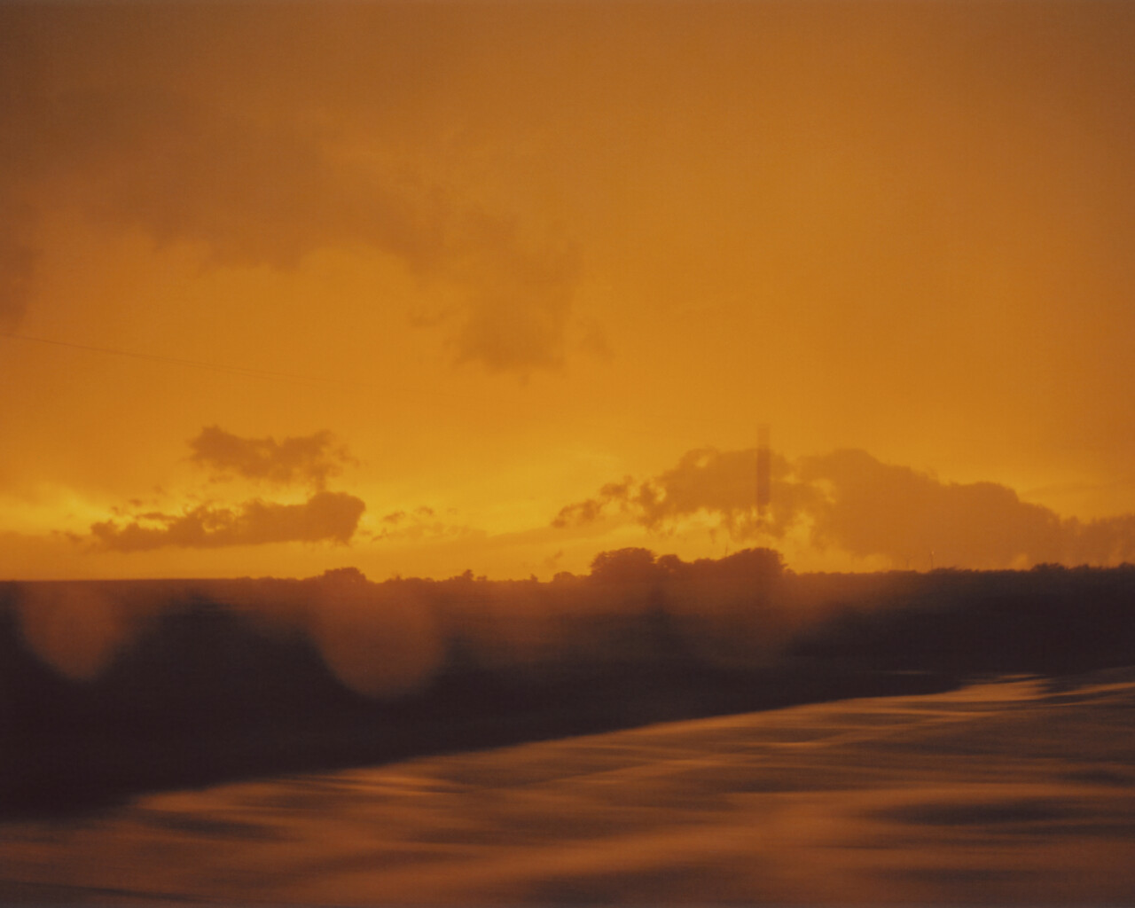
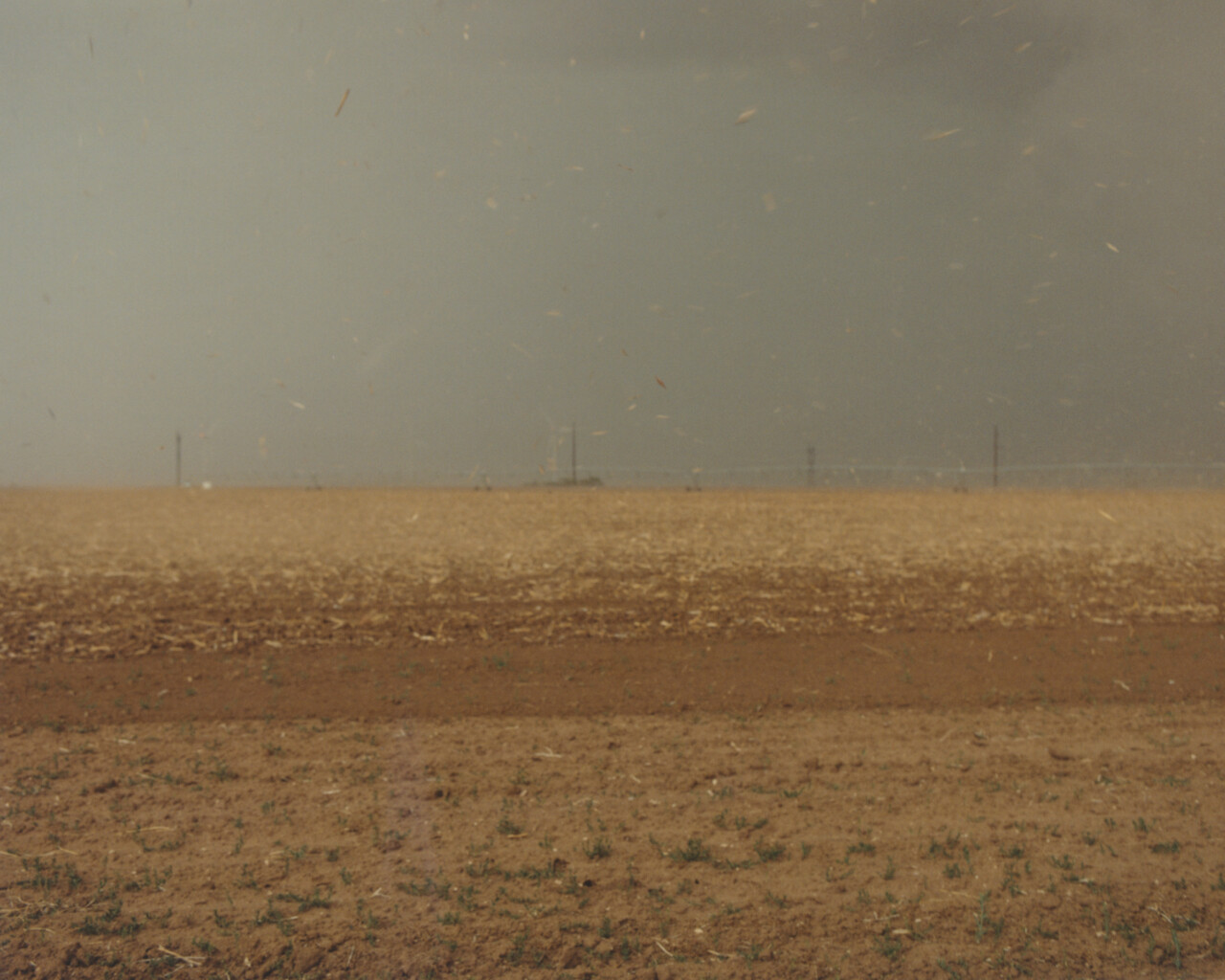
For days, moisture streaming north from the Gulf of Mexico had saturated the atmosphere above central Oklahoma. By sunrise, the countryside felt more like the Deep South than the southern Plains. A pale sun shone through a haze of high clouds. The hotel parking lot radiated heat, and distant grain elevators floated like mirages. Weingart was still fairly new to storm chasing, but he knew that heat and moisture were essential ingredients for tornado formation. The conditions suggested there was a good chance of seeing a major twister.
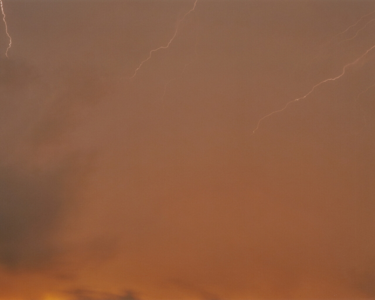
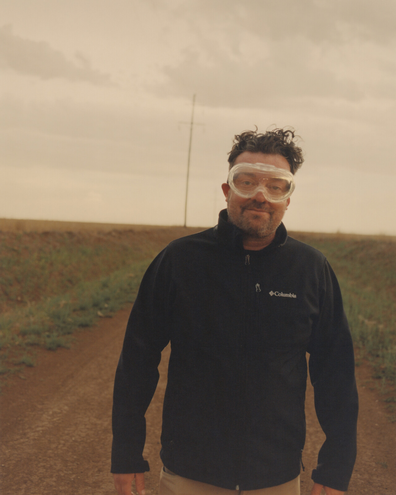
Weingart’s home base is 400 miles south in Austin, Texas, but he spends most of the spring hunting tornadoes and leading storm-chasing tours around the Midwest. He often wears a black ball cap pulled low over thick-rimmed glasses, and his face carries the permanent squint of someone accustomed to scanning the horizon for severe weather. He is not your typical storm chaser, though. Weingart studied photography and has taken some of the most arresting storm pictures of the last 15 years. Storm photography has its paradox—to get a good image, you have to be very close to the storm.


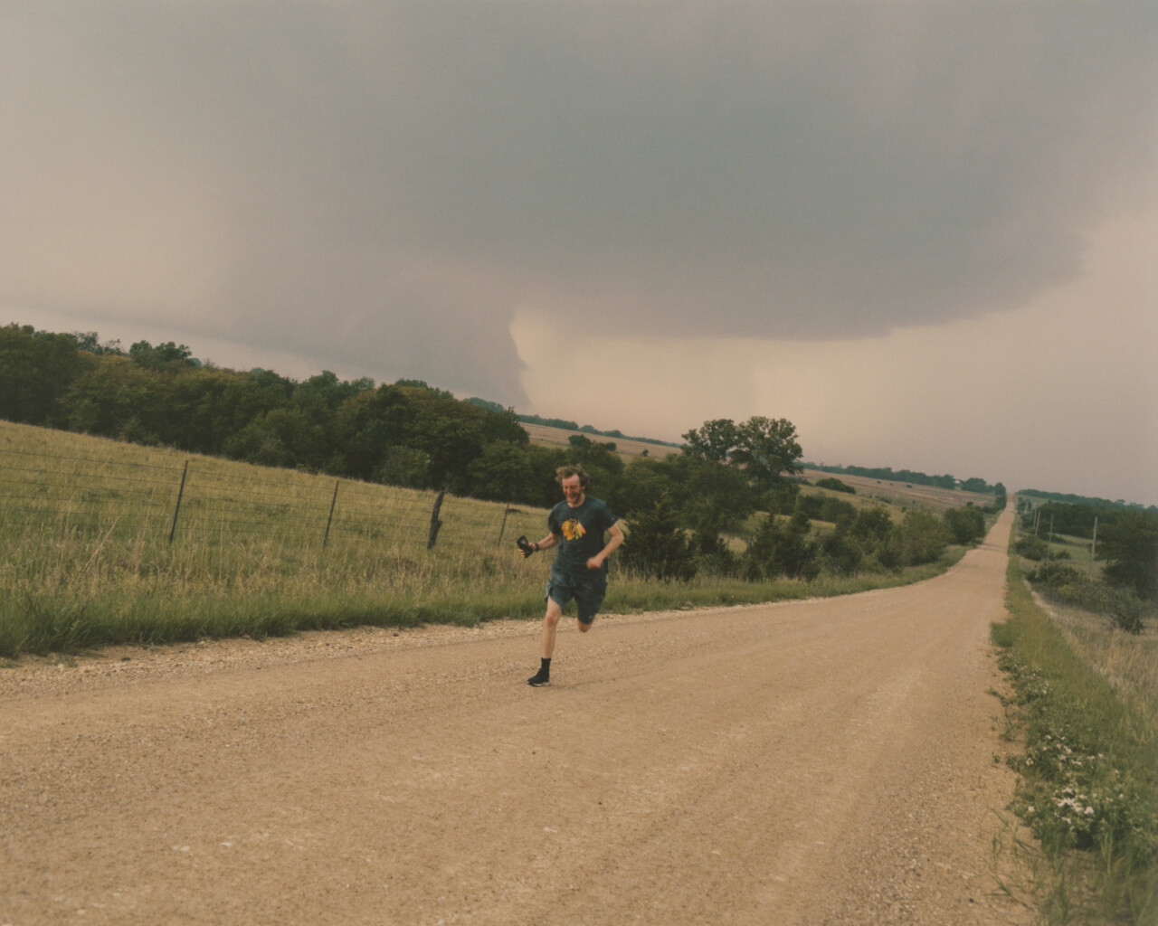
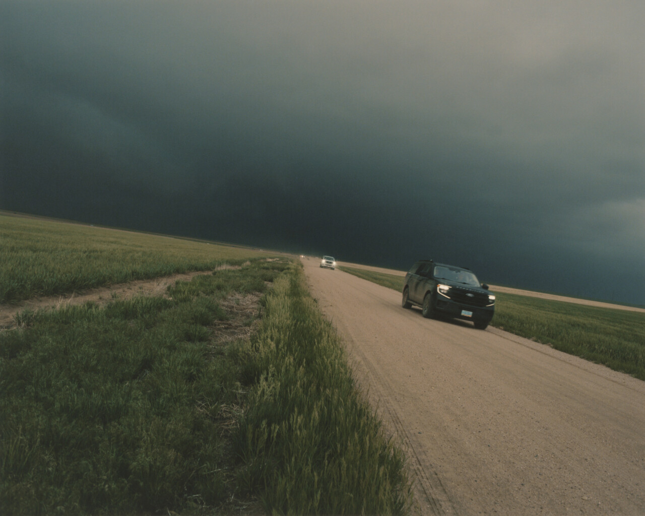
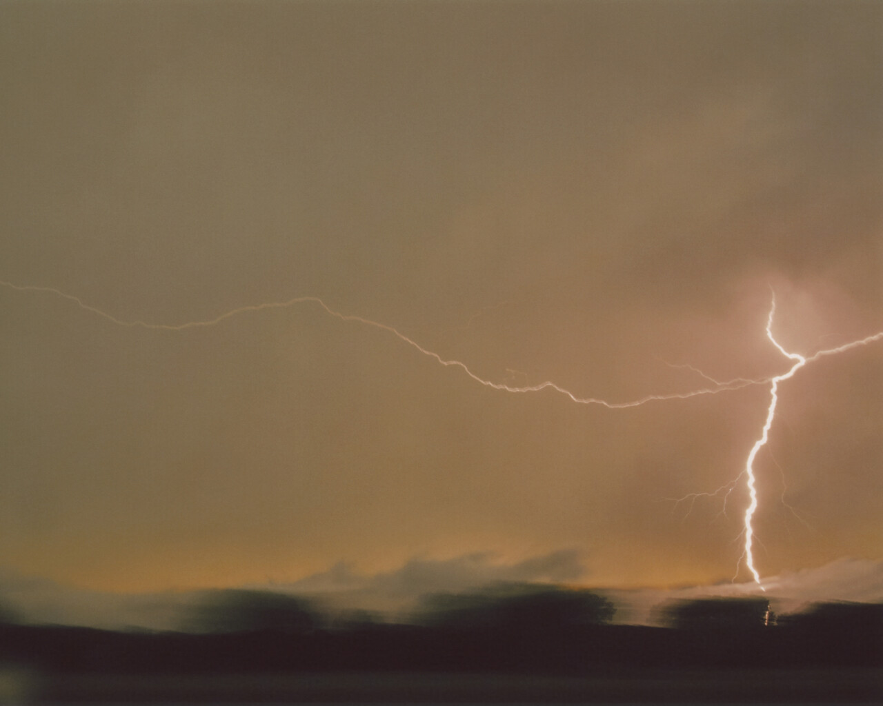
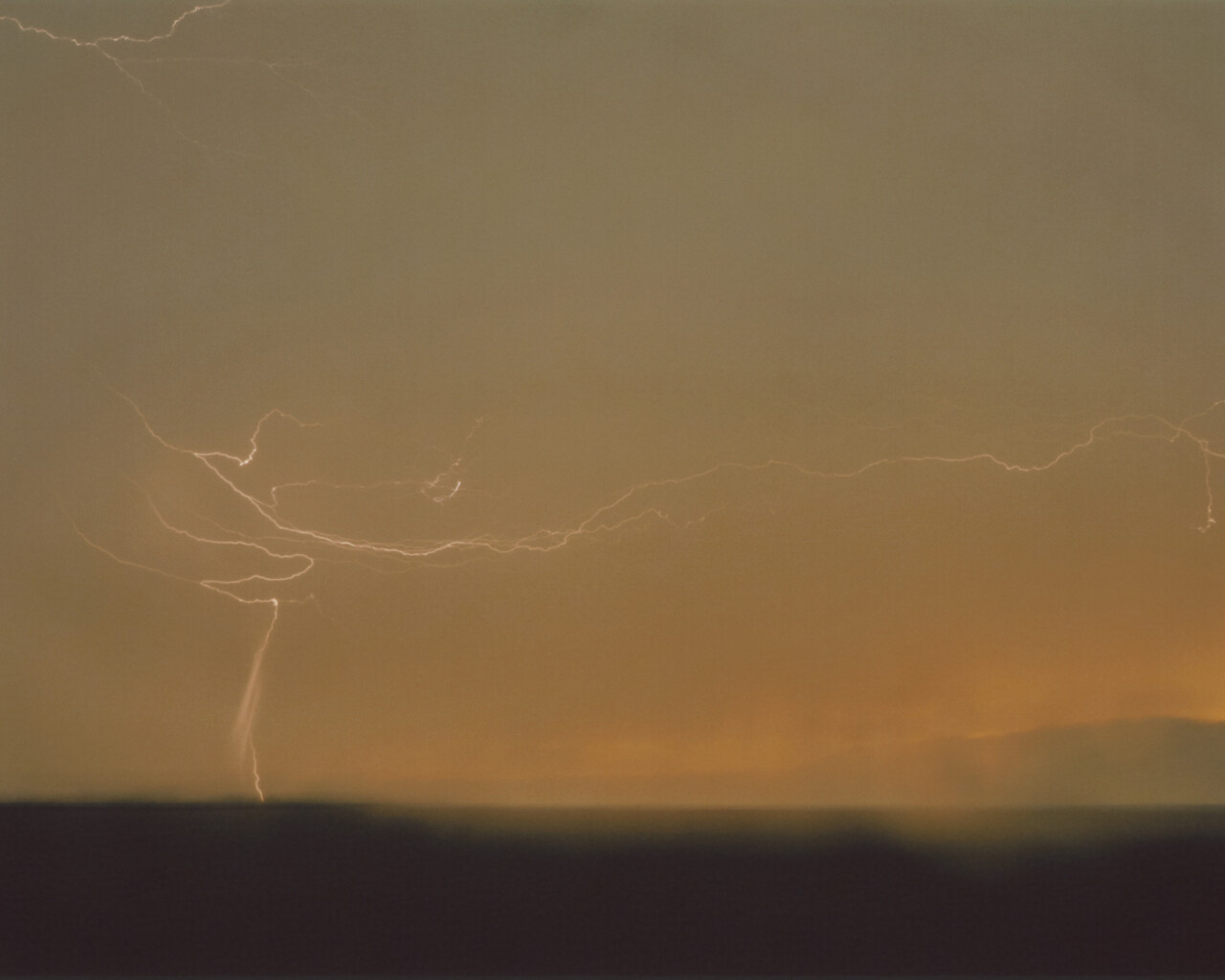
That afternoon, as reports of supercell thunderstorms rolled in, a National Weather Service Doppler radar detected a rotating updraft within one of them. Weingart and two friends, one of whom would later become his wife, redirected toward the storm. Their car was outfitted with rudimentary internet, a laptop, phones, and a heap of photography gear. Twenty minutes later, they saw wall clouds forming beneath a mesocyclone and what appeared to be a massive funnel. Weingart noticed that storm chasers were no longer trying to get closer; they were fleeing. He took a dozen photographs, then felt the ground start to shake and jumped into the car.
“People were driving on the shoulder and the wrong side of the road and through the grass,” he said. “The tornado’s path was erratic, and there were new storms forming. At one point, another tornado touched down while we were in gridlock traffic. I thought it was going to wipe out the entire line of vehicles.”
In what seemed like seconds, the storm had spun into an EF5, the highest rating on the scale. It was an astounding 2.5 miles wide, with winds touching 295 miles per hour—officially the largest tornado ever observed and among the fastest winds recorded on Earth. The storm was also unusual: It formed from the bottom up, and its path veered unpredictably instead of following steering winds in a line or curve. Most rattling of all, the storm would go down in history as the first to kill professional storm chasers: researcher and Discovery Channel star Tim Samaras, his son Paul, and fellow scientist Carl Young. By the end of the day, dozens of buildings and homes had been obliterated; eight people were dead; and more than 100 were injured.
“We were incredibly fortunate,” Weingart said. “That was the happiest I’ve ever been to see a tornado go away.”


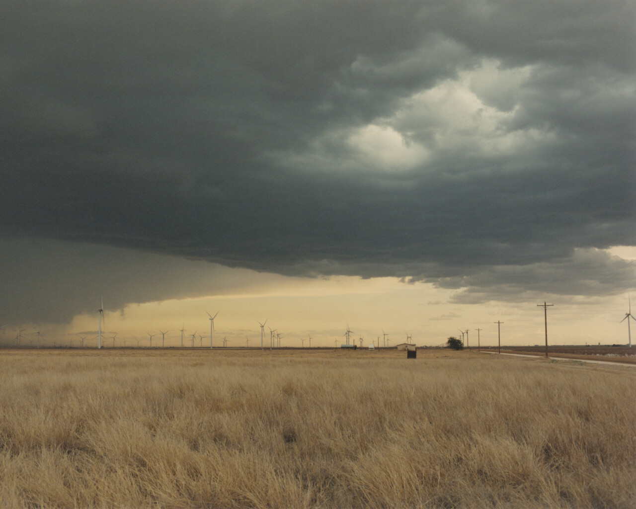
Research on the storm, however, continued. The tornado’s bizarre behavior and formation arrived at a moment when scientists were confronting troubling shifts in severe weather: an atmosphere growing warmer and wetter as the climate changes, tornado outbreaks clustering in larger events, storm seasons stretching beyond their historical boundaries, an increase in nighttime storms, and a subtle but steady migration of tornadoes and other extreme weather into places that have never experienced them. The cause, now dawning on experts, storm chasers, and citizens alike, is that the changes humanity has made to Earth’s atmosphere are ushering in a new age of superstorms unlike anything we have seen.
Scientists are now racing to understand what a warming atmosphere is doing to the structure of severe weather. Meteorologist David Dickson is familiar with Tornado Alley. He grew up in Arkansas listening to the wail of tornado sirens and watching the movie Twister on VHS. After earning his degree at North Carolina State University, he took a job as a broadcast meteorologist in Charleston and began researching extreme weather. Dickson’s first brush with the changing behavior of storms came thousands of miles from his home in Tornado Alley. It was Christmas Eve in Charleston, and he was tracking a tornado that spun off of a non-tropical, landfalling hurricane. Damage was minimal, but the storm raised a question that would stick with him for years.


“These storms are changing,” he said. “Tornadoes are occurring more in the shoulder seasons, outside of what you would normally consider a traditional, severe weather season. They’re also moving away from where I grew up in Tornado Alley and migrating toward regions like Tennessee, Alabama, and Mississippi.”
These observations are more than anecdotal. A 2024 NOAA report found that “Dixie Alley” in the Southeast saw a 12% uptick in tornado activity since 1985, while traditional tornado country has seen a 25% decrease over the same period. The report also found that tornado season is moving from spring deeper into fall, and that nighttime storms l are on the rise—greatly increasing casualties and damages.


One of the greatest dangers in migrating storm tracks is that communities new to extreme weather often have little storm experience, few warning systems, insufficient infrastructure, or emergency response, and limited public awareness of how to survive such storms. Yet as the climate warms and severe weather of all kinds drifts away from traditional storm regions, communities around the world are being blindsided. “Climate change has its fingerprint on these changes,” Dickson said. “A warmer atmosphere holds more moisture, which can be used as fuel to intensify storms and bring heavier downpours. Fundamentally, it is a physics problem.”
As it turns out, adding an estimated .07 watts of heat to every square meter of land and water on the planet is amplifying all extreme weather. More Category 4 and 5 hurricanes hit the United States mainland between 2017 and 2024 than in the previous 50. The number of major hurricanes, including a new breed of ultra-intense Category 5 storms with winds of at least 190 miles per hour, is expected to increase 20% by 2100. A 2022 study by Yale University researchers found that warmer waters to the north and south will soon draw extreme storms poleward, threatening densely populated cities like Washington D.C., New York, Boston, Beijing, and Tokyo. A recent study by First Street Foundation also shows how hurricanes will penetrate farther inland in decades to come, affecting states as far west as New Mexico, Kansas, and Wisconsin.

“Climate change has its fingerprint on these changes. A warmer atmosphere holds more moisture, which can be used as fuel to intensify storms and bring heavier downpours.”
The effects are already unfolding across the U.S. The midnight floods that killed 25 campers and two counselors at Camp Mystic in Texas brought 10 to 15 inches of rain in just 12 hours to a region that typically sees 30 inches in an entire year. Once considered a nuisance, hail has become one of the costliest weather hazards in the country, with larger and more frequent storms driving billions of dollars in damage and prompting insurers to raise rates, limit coverage or leave entire markets. In North Carolina’s hill country in 2024, Hurricane Helene dumped 50% more atmospheric moisture into western North Carolina than any previously recorded event—as much as 30 inches in some communities. Then there were the 32 trillion gallons of water that fell on California during the atmospheric-river sequence from late December 2022 to January 2023, and the megadrought now expanding across the Southwest, thought to be the worst in more than a 1,000 years.
The U.S. is hardly alone. Hurricanes, typhoons, and cyclones are intensifying and reaching into parts of the world that have no experience with them, including Europe, South America, and the Middle East. In 2025, extreme weather shattered records across the globe: Deadly floods inundated Argentina and parts of Southeast Asia; prolonged drought gripped the Middle East; and Europe endured one of its hottest summers on record, fueling wildfires from Portugal to Türkiye and contributing to thousands of heat-related deaths. Across continents, storms delivered heavier rainfall, heat waves lasted longer, and disasters that once seemed exceptional became increasingly common.


Amid the warnings of stronger storms, rising seas, and an increasingly unstable climate, one fact receives far less attention than it deserves. The future remains, to a remarkable degree, within our control. Climate models show that if humanity were to reduce greenhouse gas emissions to net zero, the rise in global temperatures would quickly come to a halt. Further amplification of tornadoes, hurricanes, flash floods, hail storms, and most severe weather would stop within a year or two. Heat waves, droughts, floods, and powerful storms would not disappear overnight, but their increasing intensity would level off. For a crisis often described as unstoppable, the implication is profound. The moment emissions stop rising, extreme weather will stop intensifying. And if we can draw down CO2, storm intensity will shrink with it.
“I think it’s becoming impossible to ignore,” Dickson said. “The heat, the hail, the floods, the intensifying storms. The two things that will make people pay attention to climate change is if it starts costing them money or if they’re personally impacted by a climate disaster, which, unfortunately, on this path, many of them will.”


Join our membership community. Support our work, receive a complimentary subscription to Atmos Magazine, and more.
Warming Skies Have Triggered a New Era of Unpredictable Storms


