

Words by Nicola Sebastian
Photographs by Edgar Berg
A half hour drive from San Juan, the booming beach town where I live in La Union, a province in northwestern Philippines, sits another beach town, Bauang, largely forgotten by today’s travelers. The foreign surfers who’ve been living in San Juan since the ’80s and ’90s remember it, though. Its beaches were the subject of postcards: blue sky fringed with coconut trees; stretches of silvery sand lined with double-outrigger boats; resorts with names like Bali Hai, Coconut Grove, and Sea Breeze.
And then, one day, the ocean started to take the beach back.
An earthquake and a typhoon were the immediate culprits, but their effects were exacerbated by offshore black-sand mining—a company named FILMAG had been doing this since the 1960s, joined in the ’80s by Anglo Philippine Oil and Mining Company. La Union sand is rich in magnetite, an important iron ore used in the manufacturing of steel. It’s brought to the sea by rivers that flow from the Cordillera mountains in the east, whose buried minerals have been the envy of colonial-era explorers and present-day corporations alike.
The effect wasn’t noticeable right away, explained Joselito Antolin, a fisherman from Pilar, a barangay, or neighborhood, in Bauang. “But when the black sand ran out,” he said in Tagalog, “the land started eroding.” Unseen from the surface, the mining gouged out the ocean floor, which left Bauang’s idyllic beaches more vulnerable to climate disaster and reduced local fish catch.
“The ocean kept getting closer and closer,” continued Joselito. Saltwater got into the wells, the rice fields and coconut trees died, and the ocean submerged homes and buildings. The school moved three times, as did the church, town hall, and basketball court.


As they ran out of space to relocate, the neighboring village was gracious enough to shift their boundary to accommodate Pilar’s most recent basketball court, where the statue of the barangay’s patron saint is housed, having been displaced alongside her devotees. The Lady of the Pillar tells the Catholic story of an apparition of the Virgin Mother Mary, who appeared atop a pillar beside a river in Zaragoza, Spain, promising that any church built there would last until the end of time.
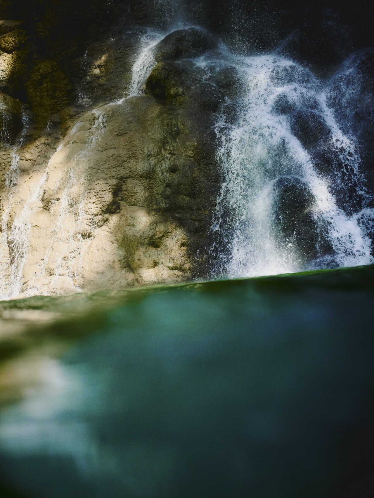
Today, some of the pillars of Pilar’s former location can be seen standing in the sea, like monuments to a different time. In Paringao, another of the town’s barangays, old resorts sit in varying states of decay. Waves thunder ceaselessly against the most recent attempt at a seawall—since the ’90s, several have been constructed to try to halt the encroaching sea. In 2006, the provincial government banned all mining in the province of La Union, “especially [of] magnetite sand,” though illegal mining still occurs in the region. Residents say that the erosion stopped in 2010. By then, parts of Bauang had lost about a kilometer of land.
Pilar had already moved with the ocean once before. Most of its residents actually migrated from another town named Pilar farther north, in the province of Ilocos Sur, because the fishing was better here. “It’s like we’re another branch,” laughed Jovita Cruz, another resident.
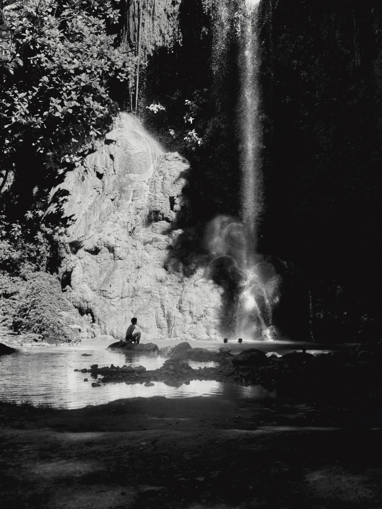
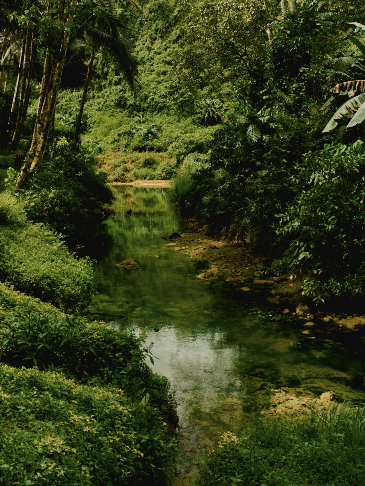
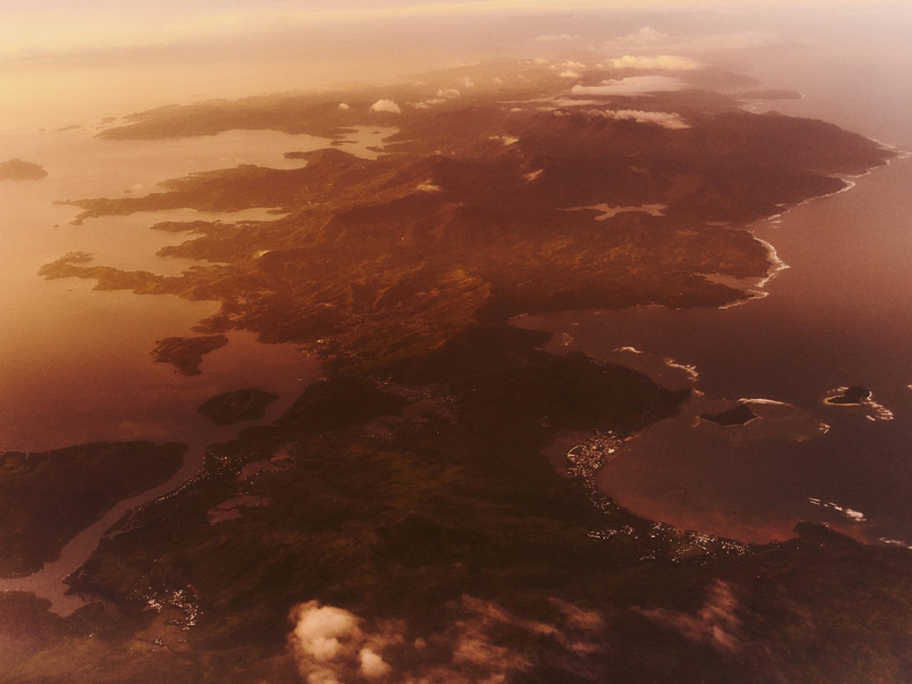
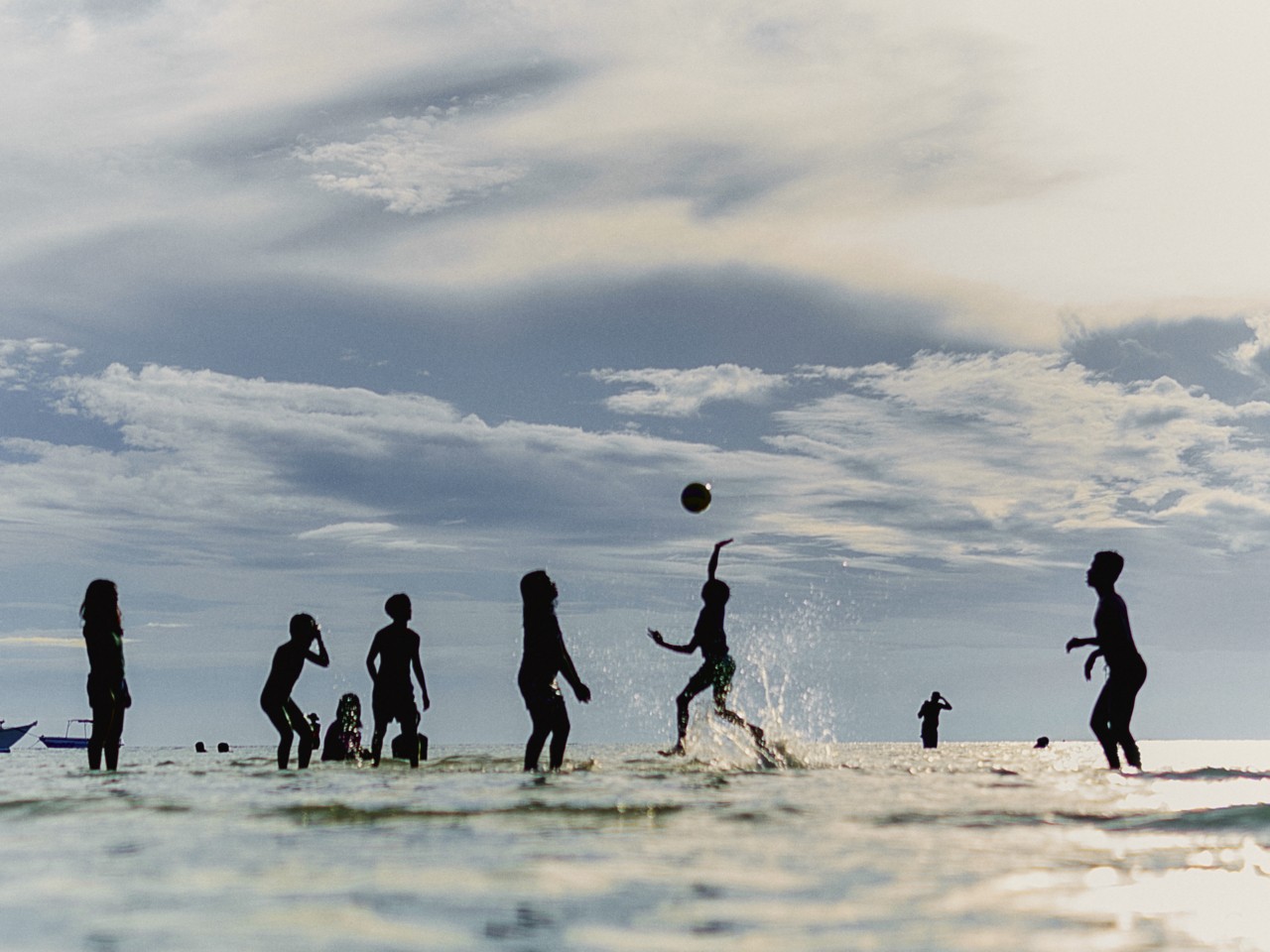
This is what it’s like to live in a country made of coastline. The Philippines is an archipelago, and for those who call any of its 7,641 islands home, every day is an encounter with a truth that shapes the history of this planet: that the world is more water than land.

A couple of hours south of Manila lies the Verde Island Passage, described as the epicenter of the world’s marine biodiversity. A narrow body of water between the islands of Luzon and Mindoro, the Passage owes its abundance to a confluence of geographical conditions, including the flow of larvae-rich currents from the Pacific Ocean, the geological complexity of its islands, and the variability of its coastline.
In 2023, one of the many commercial vessels plying the Passage sank. The MT Princess Empress poured more than 200,000 gallons of industrial fuel oil into the ocean, making it one of the worst oil spills in Philippine history. Across this “Amazon of the oceans,” the spill spread to a size of 101 square miles, reaching more than 46 miles of shoreline, affecting at least 21 marine protected areas in the Passage, and further compromising the food security of its hundreds of thousands of fisherfolk. This happened amid plans by Philippine conglomerates to transform the Verde Island Passage into a hub for fossil-fuel expansion.
For the more than two million people who depend on the Passage for their livelihood, being at the epicenter of marine biodiversity has not given rise to an equitable flourishing, and the profits that the Passage affords to a few often endanger the lives of all. Take a ferry in the Passage and you’ll see dive resorts sitting next to typhoon resettlements; a fishing boat bobbing in front of an oil refinery; a perpetually flooded village clinging to the edges of a ranch owned by a Spanish-Filipino oligarch.


In medieval times, the word “archipelago” referred to the Aegean Sea, coming from the Greek words for “chief” and “sea.” Although its meaning has shifted over time to mean the islands themselves, the word is still shaped by the space between islands: the sea that gathers them. Geographically speaking, the Philippine archipelago is itself an in-between place, a crossroads where the waters of the Pacific Ocean, the South China Sea, the West Philippine Sea, and the Indian Ocean meet and mingle, stretching across both tropical and subtropical waters. This creates an ecological overlap, a convergence of biodiversity, that is home to more species of marine life than anywhere else on Earth. Neither here nor there, the Philippine archipelago gets to be both.
Yet the connectivity that creates the conditions for biological abundance also makes the islands more vulnerable to disasters both natural and human-made. Various colonizers have sought to exploit the country’s position as a gateway to China, or have come to extract its many natural resources.
To reckon with the aftermath of colonization on his own island home, the Martiniquan poet and critic Édouard Glissant proposed that we think with the archipelago. To think with the archipelago is to contend with a land in pieces, where no two islands are alike, where the sea connects just as it isolates. For Glissant, the archipelago offers not a solution, but a question, one that swirls and shifts like the sea: Can we learn to coexist in the midst of our diversity? Could the sea of difference between us be the very thing that helps us rewrite the myth of individuality into a story of belonging?
The Ivatan are an Indigenous group from the weather-beaten islands of Batanes in the northern Philippines, halfway to Taiwan. Their name means “the ones who drifted,” from their word for driftwood.
For millions of years, their islands, formerly the peaks of ancient underwater volcanoes, have been shaped by two great currents: to the south, the Balintang Channel, where the West Philippine Sea meets the Pacific Ocean, and to the north, where the same sea meets the Sea of Japan, the Bashi Channel.
“These are the currents our ancestors followed,” John Asa told me. Asa is an Ivatan who came home after years working abroad to retrace the Austronesian migration. “We’ve been observing the waters ever since. If we didn’t, our houses would be capsized, gone during the west monsoon wind.” The meeting of so many oceans makes the waters in Batanes very rough, he said. A knowledge of the tides is crucial, “so we navigate our life according to the phases of the moon.”

To think with the archipelago is to contend with a land in pieces, where no two islands are alike, where the sea connects just as it isolates.
Asa turned to one side to ask his captain, Guil Gabaldon, to help explain to me the differences between high tide and low tide. Their understanding is captured in a myriad of words that describe every shift in the water’s texture, color, direction—not just its ebb and flow, but an entire world of movement and meaning in between.
Language helps the Ivatan pay attention to the changing moon and the tides as they shift in response. What we call the new moon is recognized as three phases by the Ivatan: kabuhun is the time just before the moon becomes fully invisible; samurang is the true new moon; and maysapat is when the moon has just begun to wax again.
Full moon in Ivatan is matuhud. It means “that which has already happened,” because the fullness of the moon is the timing around which all life and language bends. For each of the moon’s moods, there is a corresponding activity: what to plant, what to fish, what medicine to administer.
“Right now, it’s winter, and that’s when the lowest of the lowest tide happens,” Asa continued. What the Ivatans refer to as winter, also known as Amihan, is the northeastern monsoon that blows across the Philippine archipelago from around October to February. “The wind comes from Siberia, very cold,” he explained, adding that it also ushers in the perfect time to cut a tree.
“If you want a wooden house that will last forever, cut the tree when the moon is matuhud, and the tide is matwaw lawang. That’s the only day you should do it, at midnight or noon.” None of his grandfathers could explain why; they would just point to his house, and tell him that the posts are 300 years old.
Asa finally got an answer one day while he was working in Dubai and turned on the History Channel. A scientist explained a similar practice in Japan: During the full moon on a low tide, the water table is very low, so there is less moisture in the soil and the air. The tree is dehydrated, and there are fewer insects, which makes the wood harder and more resistant to pests and warping. “We’ve been practicing this for thousands of years,” said Asa.

In Aringay, La Union, a fisherman named Adonis Torio told me that he doesn’t understand the seasons anymore. “There used to be so many fish, you’d get sick of fishing. Now, we don’t know the right time to go fishing. The patterns are different, I don’t know, maybe because of climate change.” To him, it’s like a new ocean.
As human activities drive the climate toward extremes, the signs that help fisherfolk and Indigenous people read the sea and sky are disappearing. Without recognizable patterns, it becomes harder for people to attune themselves to the cycles of this planet. “I need to observe it for maybe three years before I can understand it again,” Torio added.
“The schedule of winter is getting later and later,” confirmed Asa. “The migratory birds are no longer passing by.” Batanes is part of the East Asian-Australasian Flyway, a migratory route that connects the northern reaches of Siberia to the southern edges of Australia. Birds like the kuyab and the valichit are important to the Ivatan: “one, because they’re part of our meals, and two, because they are signs the next season has begun. When these birds arrive, we know that the insects will come next, and we need to prepare for that. It’s also a way of forecasting, of knowing what to do next.”


The same birds pass through my home in San Juan. When we see them flying south along the coastline—Chinese egret and great egret, grey heron and little heron—we know that the surf season is about to begin. The past two years, their migrations have become scattered, out of time, arriving early or late, with birds flying in broken groups and sometimes alone. The waves have grown similarly erratic.
Asa explained to me how reading the weather helps the Ivatan prepare for disasters, too. There is a vine that grows on almost every tropical coastline in the world. Ipomoea pes-caprae, or vadino in Ivatan, is commonly known as beach morning glory or goat’s foot, because of its leaves. To me, it looks like a flock of butterflies stranded on a desert island after being blown out to sea. Used in traditional medicine to treat wounds and stings, vadino is a keeper of coastlines because, in rooting itself, it saves beaches from bad winds and offers a habitat for more life to gather.
“Go on the beach, and if the vines are touching the sea, the elders say, You better watch out, bad weather is coming,” Asa said. This makes sense given that the vine tends to grow at the highest water mark. The Ivatan prepare for whatever the winds and waters may bring through the practice of kamanyi-duhan, which dictates that everyone in the community—rich or poor, professional or politician—should have a task and that neighbors should look out for each other. The support system expands outwards in circles, until the whole province is taking care of one another. Some villages even “have a big plywood sign out on the national road, and they write everything, per family, per person, who is doing what,” Asa added.

A 2021 study published by the National Academy of Sciences analyzed the most comprehensive set of genome data ever assembled for the Philippines, and determined that the archipelago has seen at least five unique waves of migration, contrary to the established theory that it was originally peopled exclusively by Indigenous communities from Taiwan. “Altogether, our findings portray the Philippines as a crucial gateway, with a multilayered history, that ultimately changed the genetic landscape of the Asia-Pacific region,” the study concluded.
“Six thousand years ago, the Austronesians started drifting from Turungan Cave in Itbayat, Batanes,” Asa recounted, “until they reached Madagascar, down to Easter Island, down to New Zealand, and back here. So all of these countries within the coastal areas of the Pacific, whatever their culture is now, there is a pinch of Ivatan.”
Asa is developing an online database of Ivatan genealogy and documenting traditional fishing practices with the National Commission on Indigenous Peoples, as well as building an Ivatan-based disaster response protocol for remote island communities. His many projects stem from the same impulse: to hold onto as much of his culture as he can. Remembering isn’t just about saving what is being lost. It’s also about surviving what’s to come.
This March, when Amihan dies down, a shaman will open the Ivatan summer fishing season by performing the Kapayvanuvanua, a ritual opening of a port, or vanua. The vanua isn’t a built structure like a pier; it might be a crevice in the reef, a crumbling limestone cliff, a stretch of white sand, or a hollowed cove. It’s a point from which the mataw, revered hook and line fishers, can safely launch their u-hulled rowboats—a way out into the ocean, and a way back home.


With the fishers and their community in attendance, the shaman makes a sacrifice to the spirits, reads the signs to determine that the timing is right, and blesses the fishers to protect them from harm. Then the fishers drink together, and the whole community eats.
Thus imbued with intention through ceremony, the vanua becomes a portal not just between land and sea, but between the seen and unseen world. The vanua is a place, provisional yet sacred, around which the community gathers. But vanua also refers to the fisherfolk themselves. Working together throughout the season to bring home just enough arayu to be dried so that their families can eat when the bad winds come, they become a society all their own. By calling place and people by the same word, the Ivatan render the two inseparable from each other.
In Batanes, a father is known in relation to his sons, an ancient practice known as teknonymy. So although the word “shaman” has roots in Siberia, Asa reads it as Ivatan, interpreting its meaning as “si ya na ama ni—”: “he is the father of—”. Only those who remember where they came from, and to whom they belong, can read the shapes made by water.

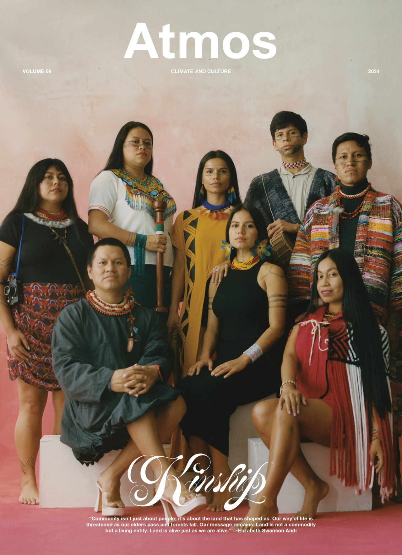
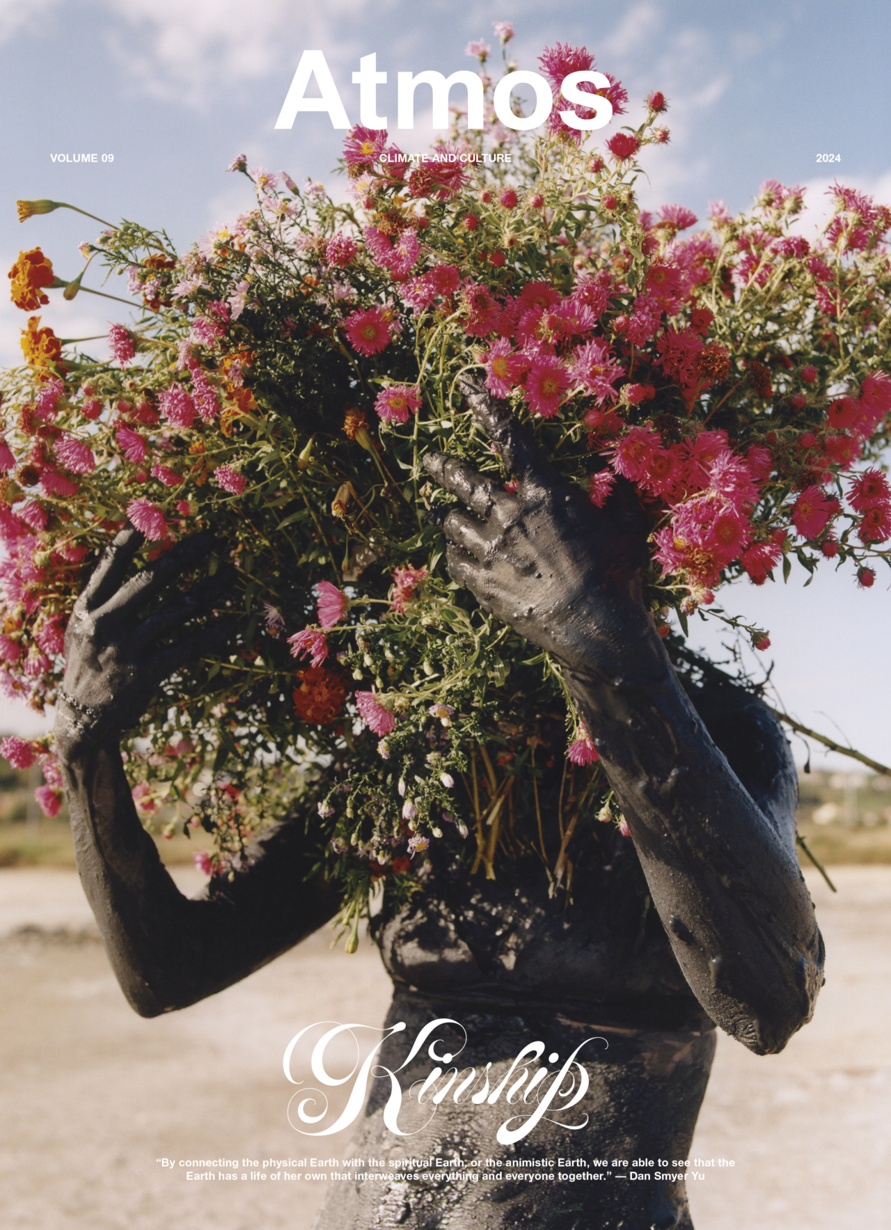
This article first appeared in Atmos Volume 09: Kinship with the headline “We, the Archipelago.”
Atmos Volume 09 explores family, biodiversity, wildlife, symbiosis, and conservation—a collection of stories that remind us that we exist in a web of not only relationship, but kinship.
We, the Archipelago: Life in the Philippines